Google on Wednesday announced that it's added a COVID-19 layer to the Google Maps app, which offers critical information designed to help you decide where to go and what to do while still staying safe.
A color-coded system will show you the density of new coronavirus cases in any given area and a label will tell you whether cases are trending up or down there, Google said Wednesday.
The new info is visible for all 220 countries and territories available on Google Maps. You can see it at country, state, province, county and city level data, depending on the area.
.PNG)
Here's how to use it:
"These sources get data from public health organizations like the World Health Organization, government health ministries, along with state and local health agencies and hospitals," Google added in a blog post.
Source: cnet.com
Collected by My Nguyen
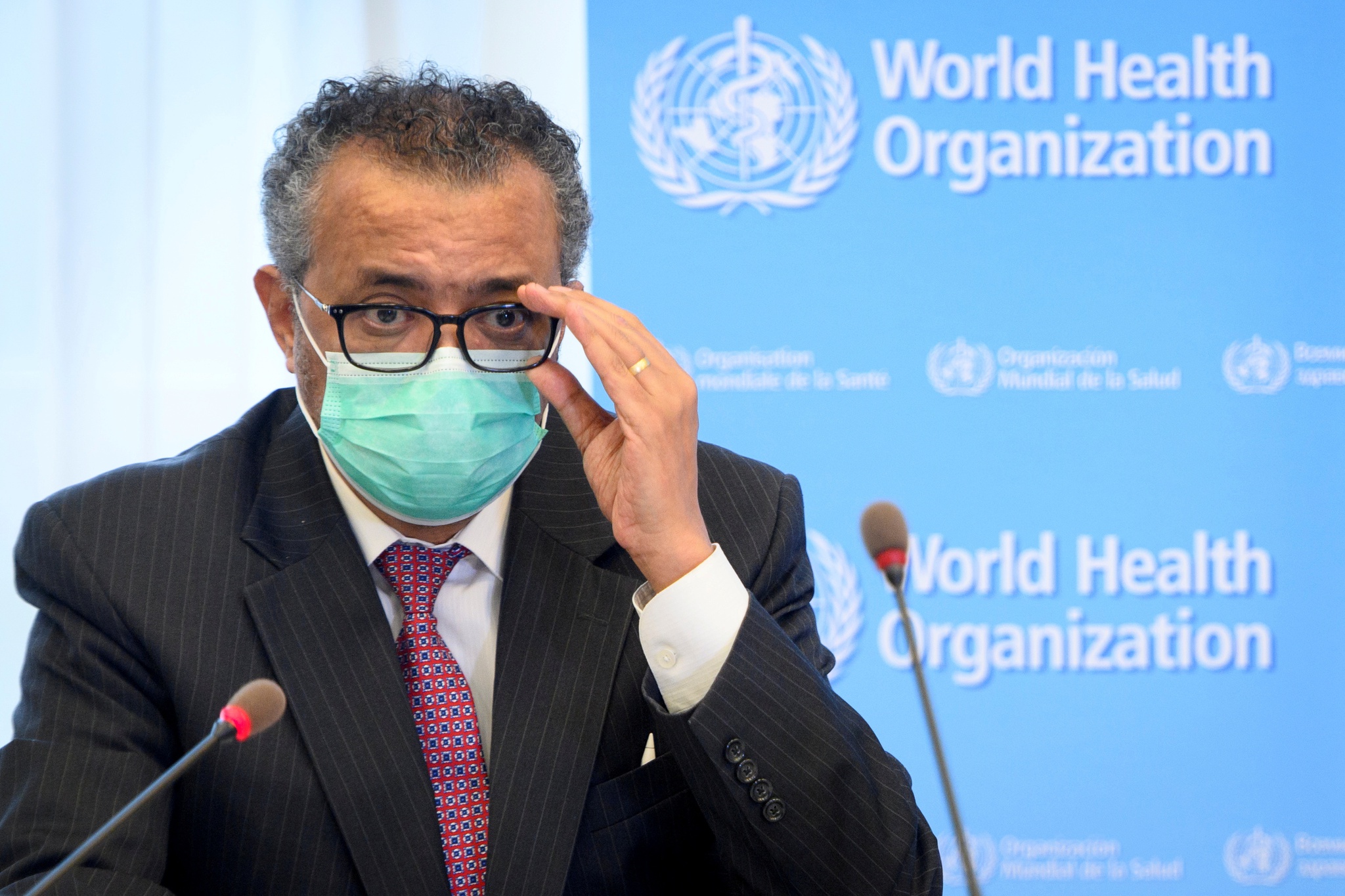
Người đứng đầu Tổ chức Y tế Thế giới (WHO) ngày 15.7 cho biết vẫn còn quá...

Vậy là đã qua được một tuần cách ly toàn TP.HCM theo chỉ thị 16
Ngày 5.7, tại cuộc họp trực tuyến của Ban Chỉ đạo quốc gia phòng, chống...
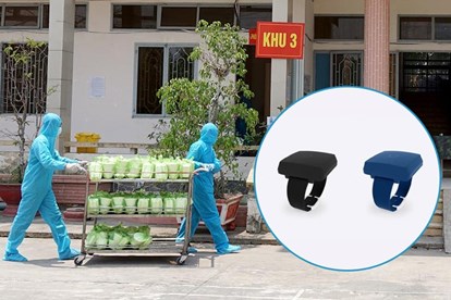
Sở Thông tin và truyền thông TP.HCM vừa có văn bản đề xuất UBND TP.HCM về...
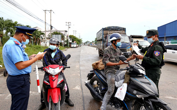
TP.HCM không đóng cửa hay phong tỏa nhưng sẽ kiểm soát chặt chẽ người ra vào...
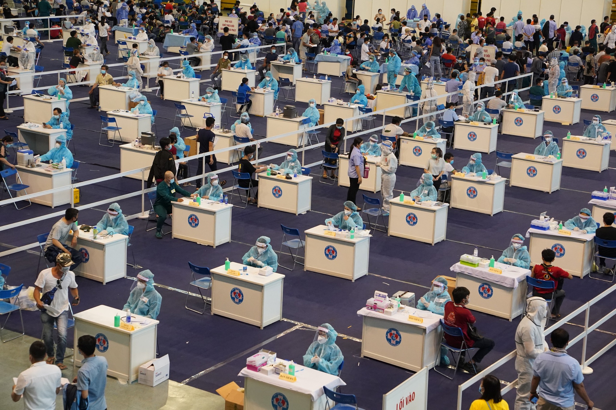
Tính đến hết ngày 29.6, TP.HCM đã tiêm trên 805.000 liều vắc xin Covid-19 trong...
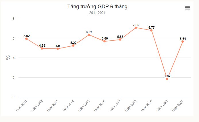
Con số GDP 6 tháng tăng 5,64% khiến giới phân tích bất ngờ bởi 2 quý vừa qua,...

Lãnh đạo Chính phủ đề nghị Công ty AstraZeneca tạo mọi điều kiện thuận...
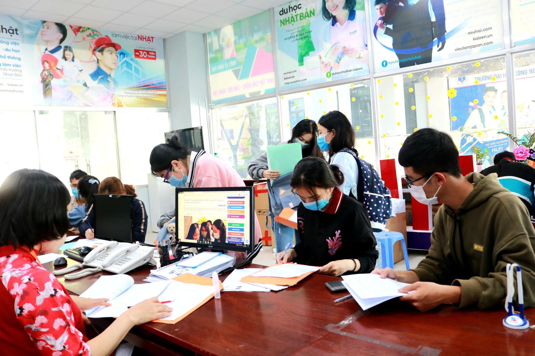
Trước những mong muốn của thí sinh, phụ huynh tổ chức xét tốt nghiệp thay vì...
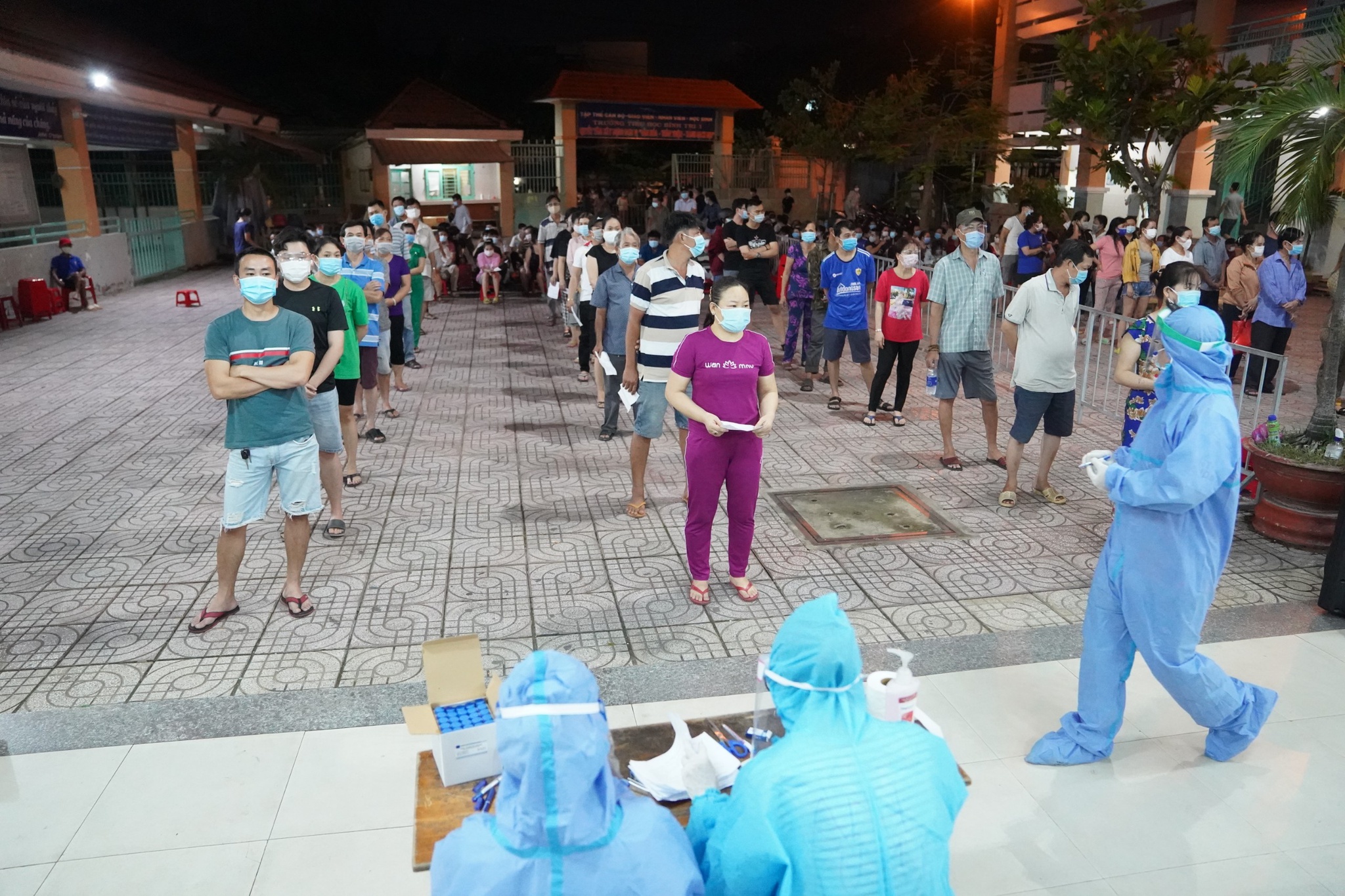
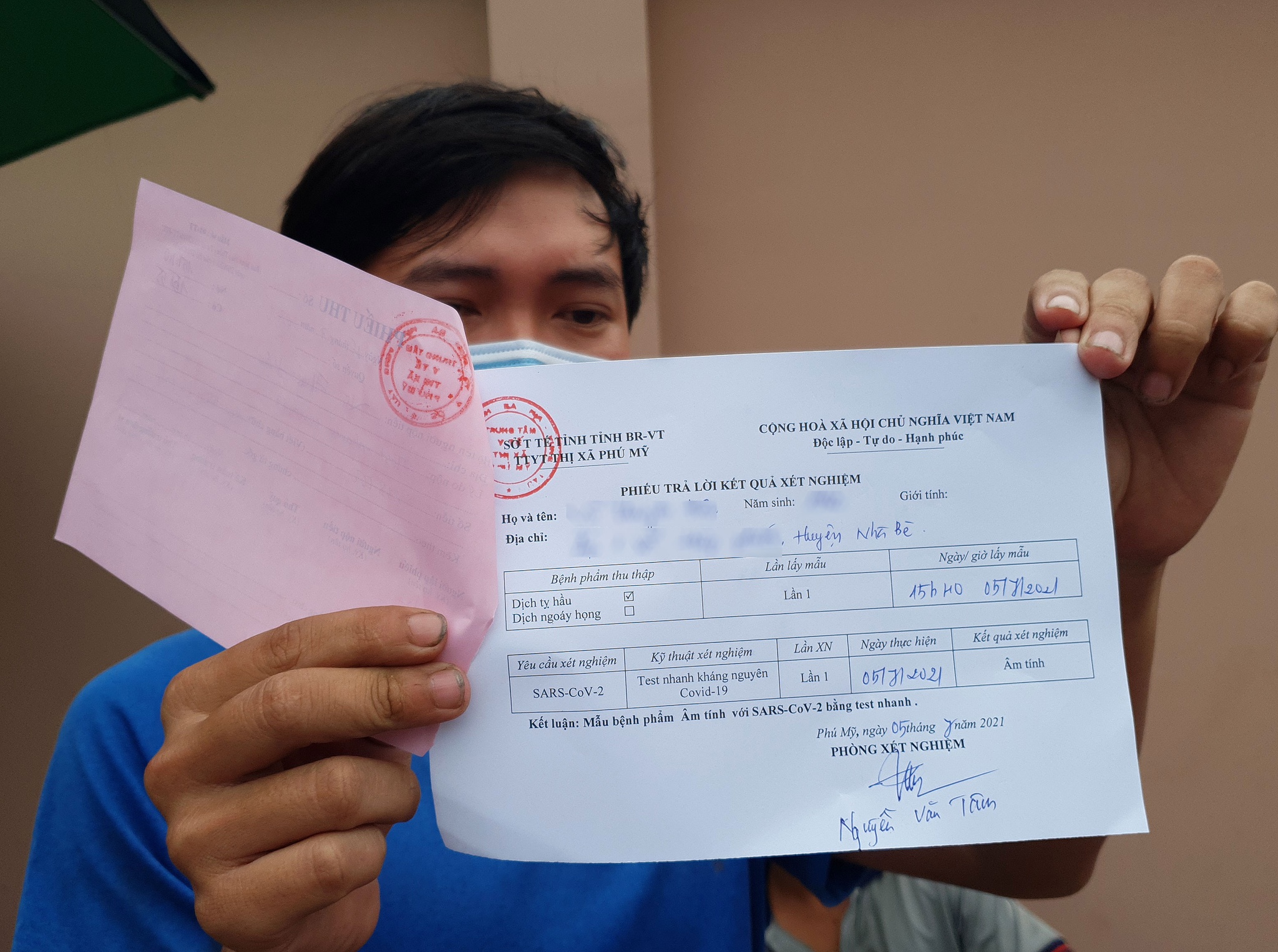
Số ca nhiễm tại TP.HCM vẫn tăng lên, ở mức 3 con số mỗi ngày, dù đa số ở...

Theo TS Kidong Park, vai trò của vắc xin trong việc kiểm soát ổ dịch cấp tính còn...
344567942350826358571066.jpg&w=1400&h=520)
522608805487.jpg&w=1400&h=520)